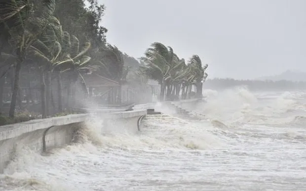
Maximum winds near the storm’s center are at Level 12 (118–133 km/h), with gusts reaching Level 15. The storm is moving west-northwest at a speed of approximately 15 km/h.

According to the National Center for Hydro-Meteorological Forecasting, at 7:00 AM on November 27, the storm’s center was located at approximately 13.0°N latitude and 114.2°E longitude, about 180 km north of Song Tu Tay Island. Maximum winds near the center were at Level 12 (118–133 km/h), with gusts up to Level 15. The storm is moving west-northwest at a speed of 10–15 km/h.
Forecast of the storm’s trajectory over the next 24 to 72 hours:

Forecast of storm developments over the next 72 to 120 hours:
Over the subsequent 72 to 120 hours, the storm is expected to move slowly in a north-northwesterly direction before potentially shifting westward, traveling at a speed of 3–5 km/h while gradually weakening in intensity.
Forecast of storm impacts:
At sea: The central South China Sea (including the waters north of the Truong Sa archipelago) will experience strong winds at levels 7–9; near the storm’s center, winds will reach levels 10–12 with gusts up to level 15. Wave heights will range from 4.0–6.0 meters, reaching 7.0–9.0 meters near the center, accompanied by rough to very rough seas.
Vessels operating in the aforementioned danger zones are likely to be affected by thunderstorms, tornadoes, strong winds, and high waves.


